Surveying
Professional Land Survey
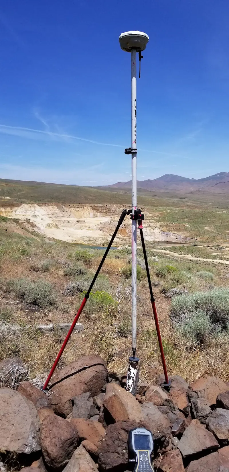
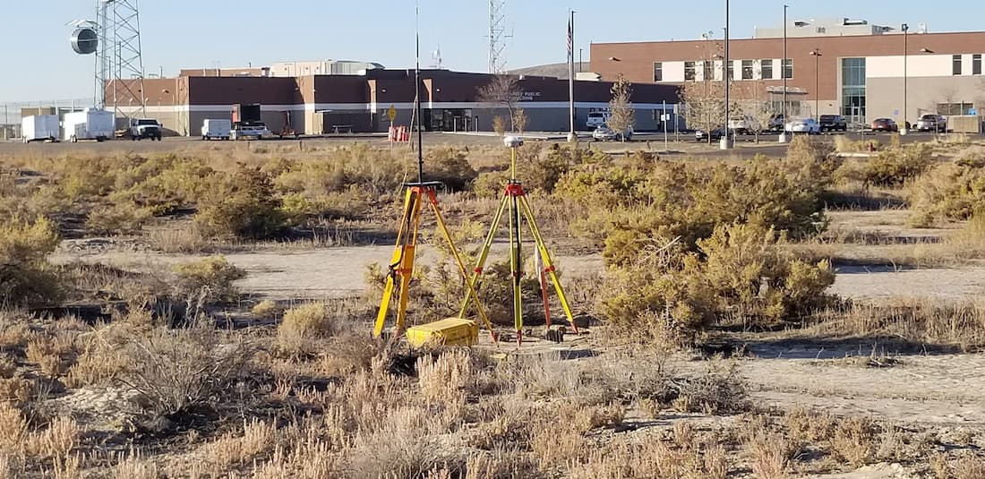
Ensure every inch of your property is mapped with precision and care through our professional land surveying services. Whether you're planning new construction, addressing boundary differences, or simply need to know the exact dimensions of your land, our team of licensed surveyors provides the detailed insights and accurate measurements you need to make informed decisions. With state-of-the-art technology and a commitment to excellence, we help you navigate your project with confidence.
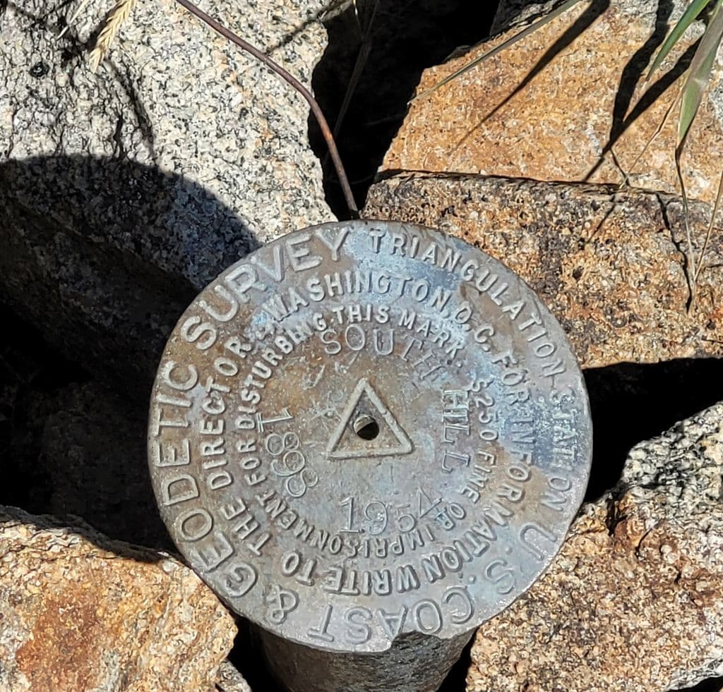
Federal Land Survey
Navigate the complexities of federal land with unparalleled expertise through our Certified Federal Land Surveying services - ensuring compliance, precision, and clarity for your project on government-owned or managed properties.
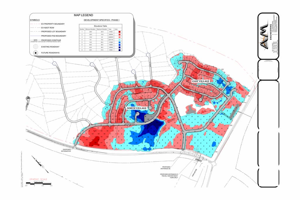
Topographic Survey
Gain a clear understanding of your terrain with our topographic survey services, providing detailed maps and data to guide your project from concept to completion with confidence and precision.

Planimetric Survey
Capture every detail above ground with our planimetric survey services, delivering precise, flat-view maps of features and landmarks to support your planning, design, and development needs.
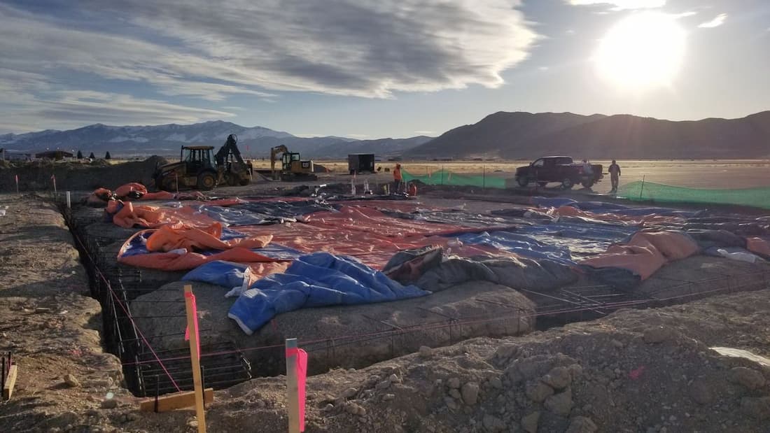
Construction Stakeout
Lay the groundwork for a successful build with our construction stakeout surveying services, delivering pinpoint accuracy to guide every phase of your project from rough grading and foundations to final As-Built.
Volumetric Analysis
Optimize your project planning and material management with our volumetric analysis services, providing precise calculations of earthwork quantities, stockpile volumes, and excavation needs to save time, reduce costs, and enhance efficiency.
Certified Quantity Survey
We work to make sure that your project stays within budget or that you are building the quanitiy perscribed. We assist both Owners and Contractors in progress payment and final payment operations, through a certified quantity survey.

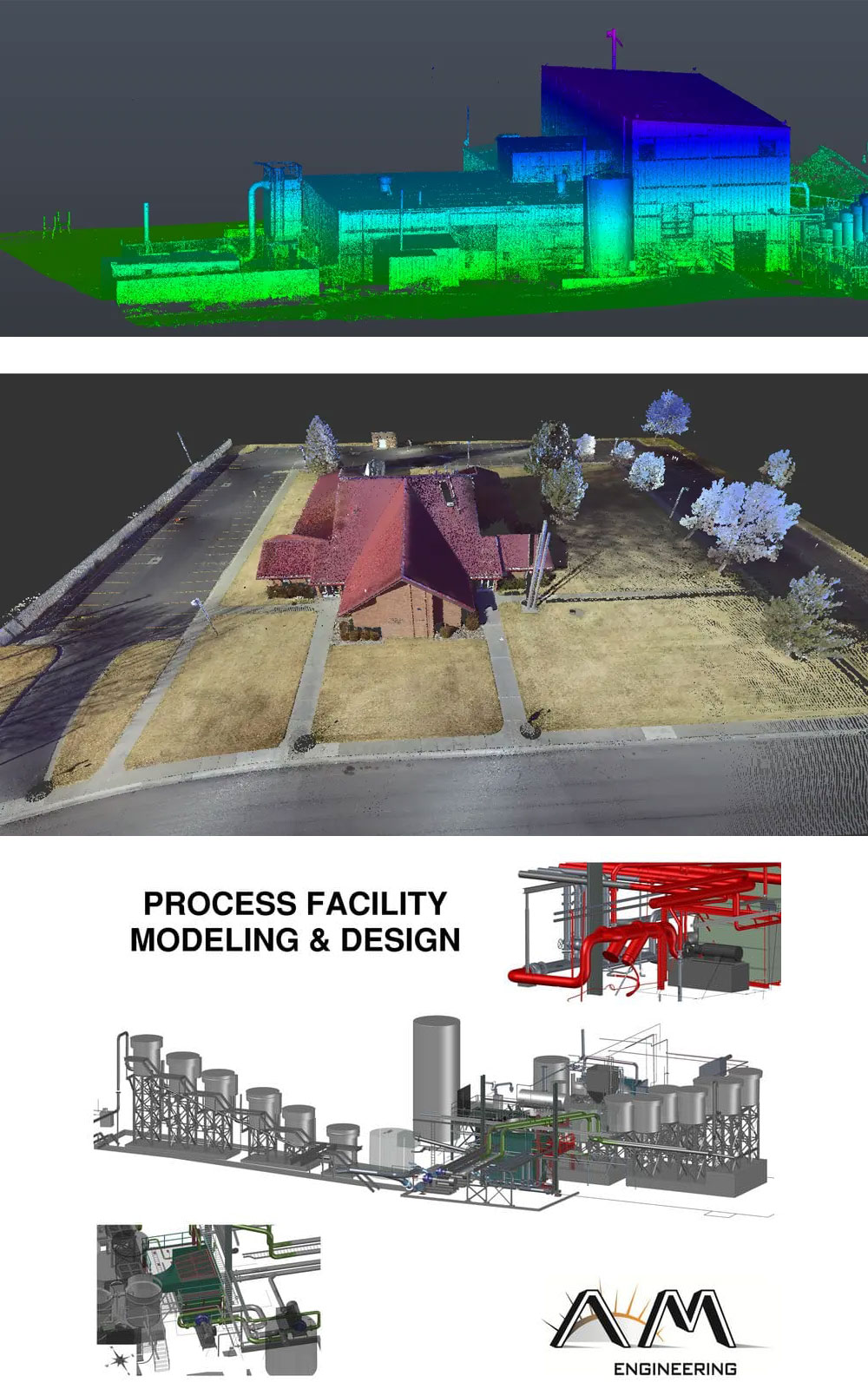
3D Laser Scanning
Our team can create an as-built model for any structure or object within 2 millimeters accuracy! See our design services where we then utilize the as-built model to create leading industry accurate designs that significantly limit your change order exposure!
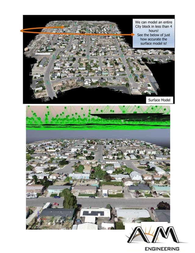
Aerial Surveying
Unlock the full potential of your public works and mining operations with cutting-edge drone aerial surveys. Our advanced drone technology provides unparalleled accuracy and real-time data, enabling you to make informed decisions with confidence. Whether you're mapping large construction sites, monitoring infrastructure, or assessing mining resources, our drone surveys deliver detailed insights faster and more cost-effectively than traditional methods.
- Detailed elevation changes
- Contours
- Natural Features
- Existing Structures